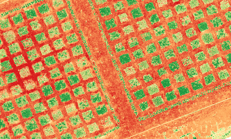
Utilizing satellite and drone data, we can provide detailed crop health analysis and mapping, allowing farmers to identify potential issues and take proactive measures to improve yields
Field Mapping
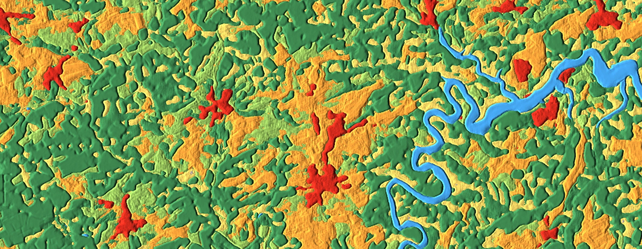
We use satellite and drone data to create detailed maps of field boundaries, soil types, and other important information, providing valuable insights for crop planning and management
Variable Rate Application
By analyzing satellite and drone data, we can create variable rate application maps that optimize fertilizer and pesticide usage, resulting in cost savings and improved crop yields.
Free Consultation
Free consultation available for specialized services. Expert help to find the best fit, answer questions, and negotiate prices.