
Agriculture
Precision agriculture, calibrated to your fields.
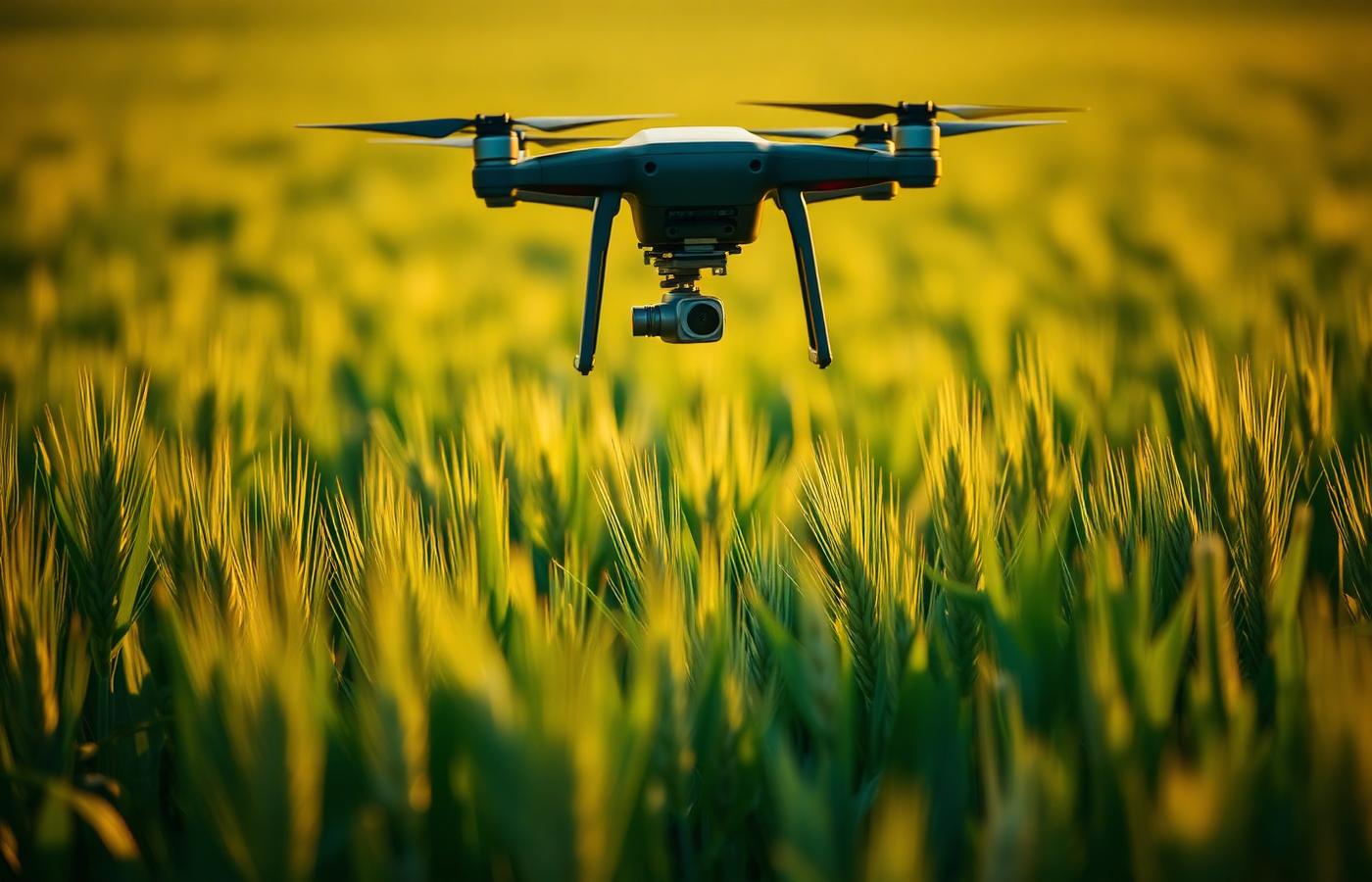
Yields sit or slip on decisions made without spatial data. LGEO gives Luxembourg farms multispectral imagery, NDVI, drainage models and RTK-grade GPS correction — priced for real operations, not pilots.
Capabilities
What we deliver
- NDVI & multispectral crop health
Repeatable flights, seasonal deltas, and per-parcel reports you can act on.
- Terrain & drainage modelling
High-resolution digital elevation models to plan drainage, erosion and irrigation.
- AEON GPS correction
Centimeter-grade positioning across every machine, on one subscription.
- Yield-zone mapping
Historical layer stacks combined with in-season imagery for variable-rate planning.
Proof
Selected outputs
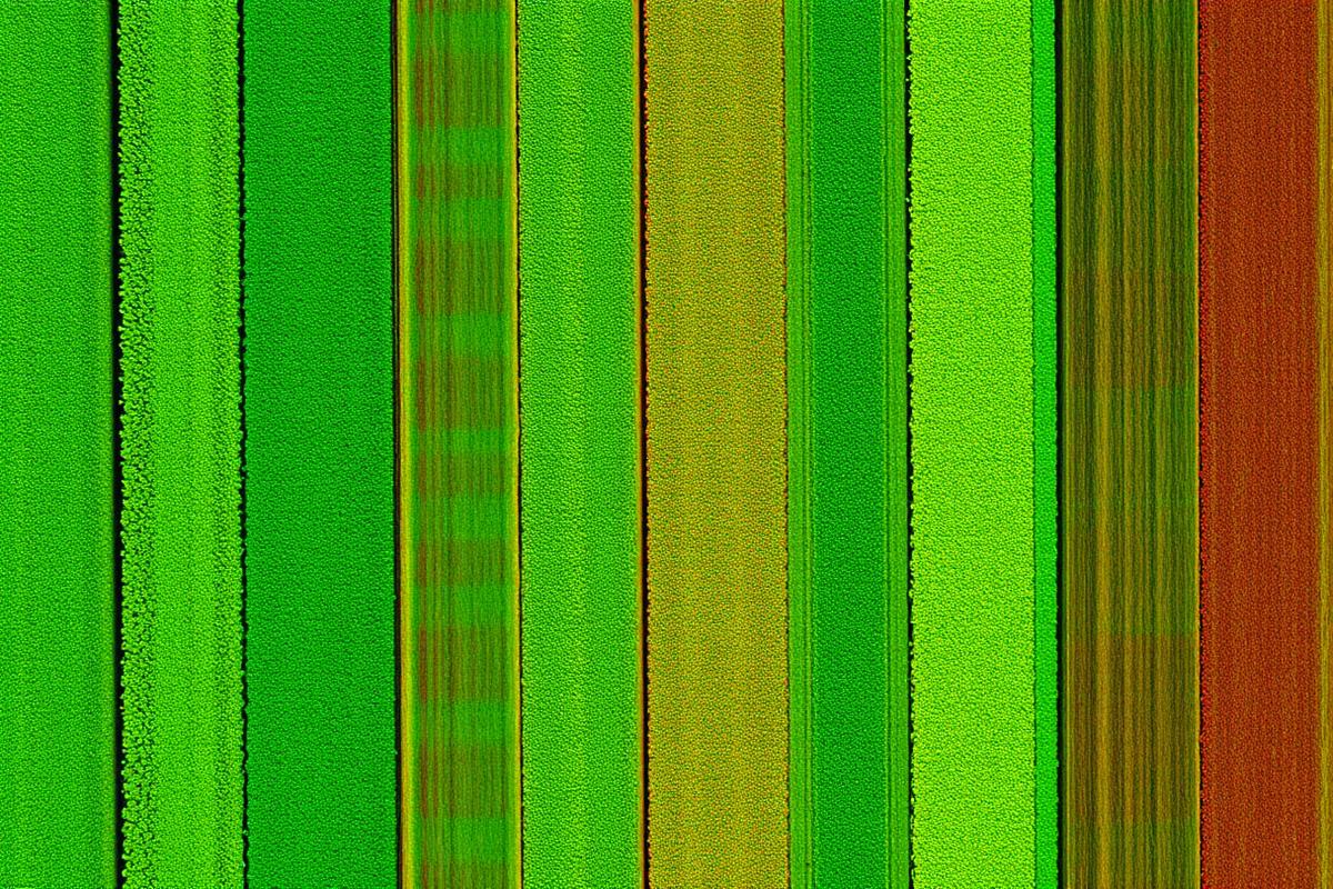
NDVI parcel scan revealing under-performing zones ahead of harvest.
Related services