
Architecture & Engineering
Reality capture your BIM model can trust.
Design assumptions crumble when the site doesn't match the drawing. LGEO scans, photographs and models existing conditions so your BIM, retrofit and heritage work starts from measured reality.
Capabilities
What we deliver
- Terrestrial laser scanning
Dense point clouds of interiors, façades and infrastructure — Revit / IFC ready.
- 360° imaging
Site-wide navigable photography paired with the scan data for design reviews.
- Photogrammetric models
Textured meshes for context massing, planning and visualisation.
- GIS analytics
Building-footprint detection, land use and change-detection layers for site studies.
Proof
Selected outputs
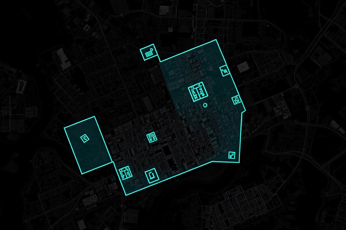
AI-assisted building-footprint detection across a dense urban block.
Related services