
Construction
From ground-break to hand-off, one survey partner.
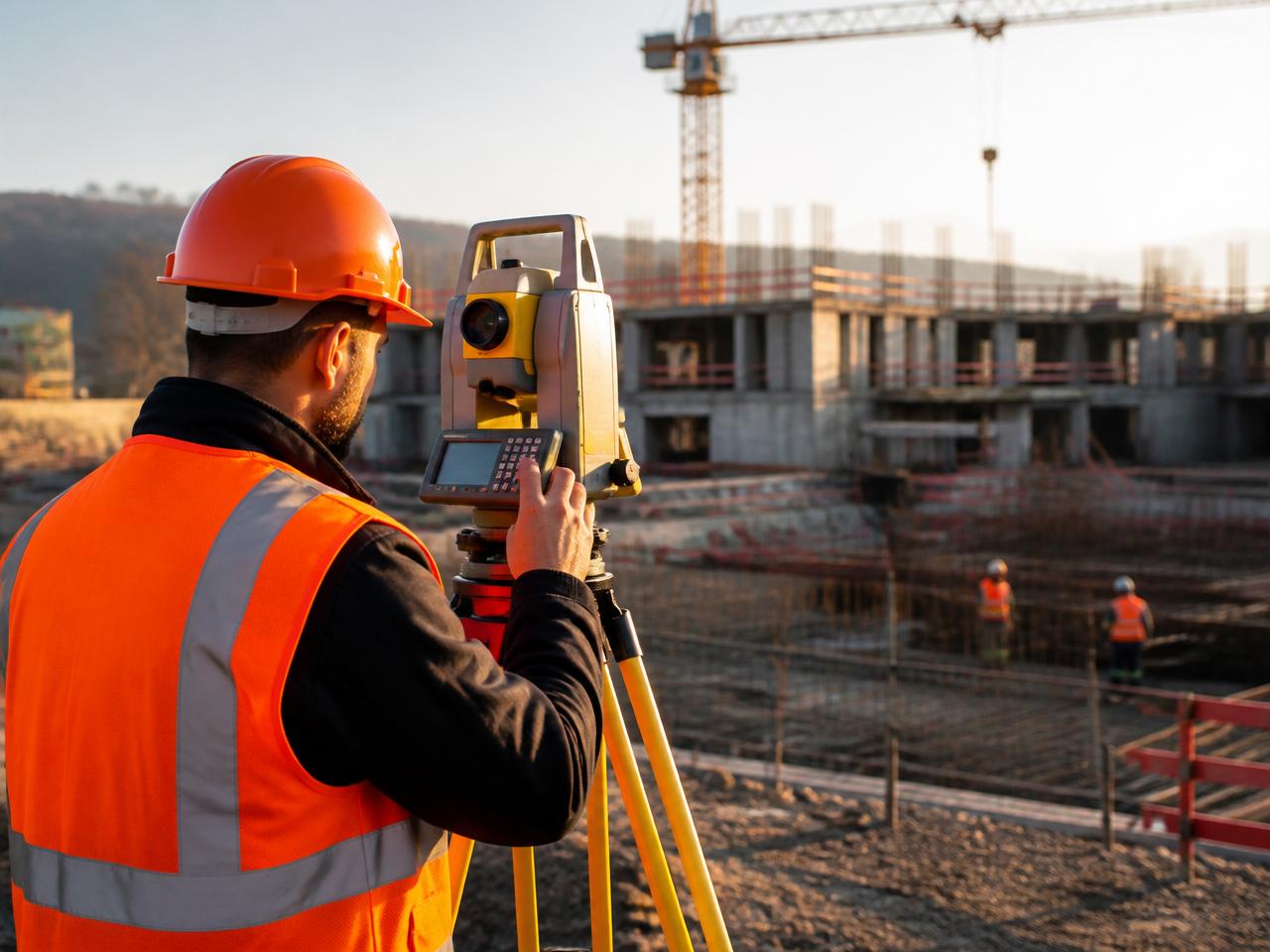
Construction risk lives in what you can't measure. LGEO delivers topographic baselines, volumetric earthworks, drone monitoring and as-builts on schedules that match your build.
Capabilities
What we deliver
- Topographic & boundary surveys
Set the ground truth every stakeholder can build against.
- Volumetric earthworks
Cut/fill calculations from repeatable drone flights — bill accurately, resolve disputes early.
- Drone site monitoring
Time-lapse photogrammetry to track progress and detect drift week over week.
- As-built documentation
Laser-scanned as-builts against design intent for owner hand-off.
Proof
Selected outputs
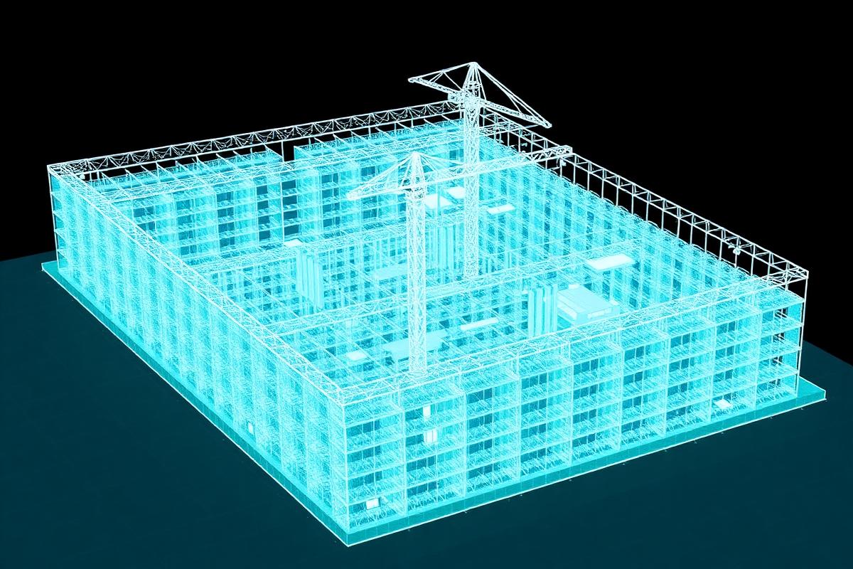
LiDAR point cloud of an active build, used for progress and clash detection.
Related services