LGEO
Case studies

Real deliverables from live projects.

A sample of recent work — filtered for what we can show publicly. Ask for a scoped conversation about anything relevant to your project.

Selected work

Projects that shipped.

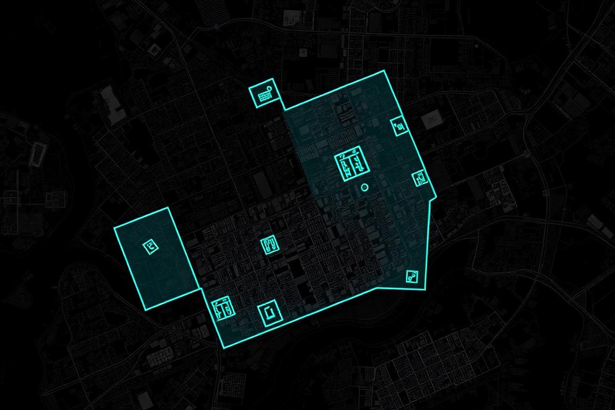
Building-footprint detection across a dense urban block.
GIS · Municipality

Building-footprint detection across a dense urban block.

Delivered a validated GIS layer of building footprints from aerial + cadastral data, used by the client's planning department for a rezoning study.

12,400 footprints classified · 3-day turnaround
NDVI crop-vigor mapping across 240 ha of arable land.
Agriculture · Grande Région

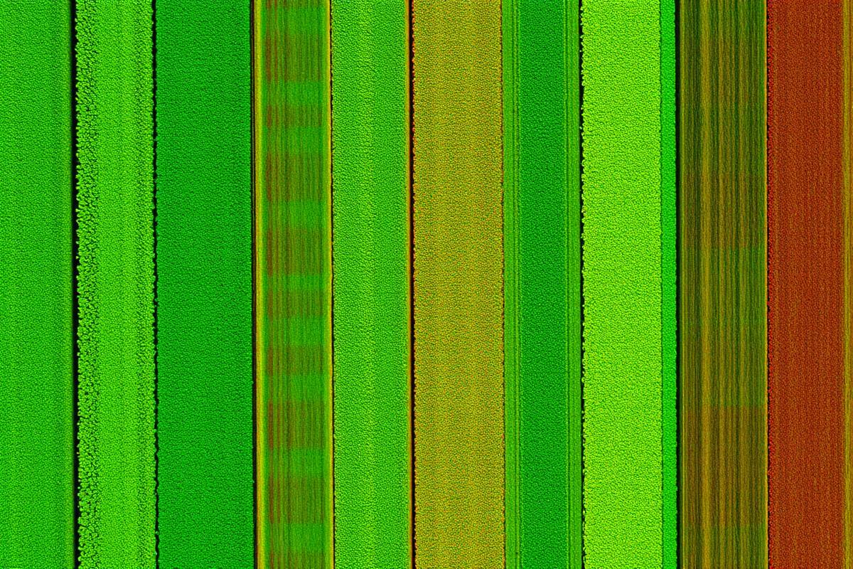
NDVI crop-vigor mapping across 240 ha of arable land.

Multispectral drone flights over the growing season produced NDVI maps that fed a variable-rate fertilizer plan, cutting inputs on healthy zones.

3 flights · 240 ha · variable-rate fertilizer plan
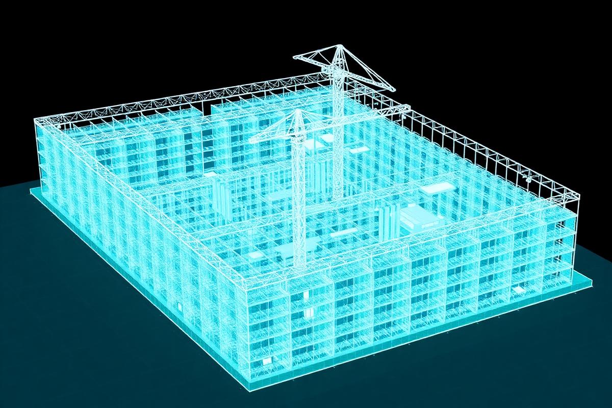
Dense LiDAR point cloud of an active construction site.
Construction · Site monitoring

Dense LiDAR point cloud of an active construction site.

Fortnightly LiDAR captures for volumetric earthworks tracking and as-built verification, delivered as classified LAS + PDF summaries.

1.8 B points · sub-cm registration · fortnightly cadence